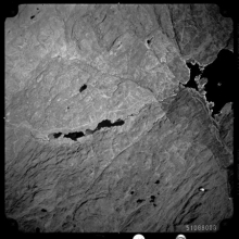
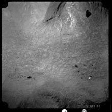
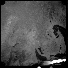
In 1987 the Central Research Unit of the Scottish Development Department (SDD) commissioned air photography to cover the whole of Scotland. The survey was co-sponsored by the Nature Conservancy Council, the Forestry Commission and the Countryside Commission for Scotland. The photography was commissioned to help measure change in countryside features and to provide a public archive and permanent record of the land cover of Scotland in the late 1980s. Increasing public debate following the passage of the Wildlife and Countryside Act (1981) and wider environmental issues exposed a gap in basic information and knowledge about the nature and scale of change in the countryside (covering land use, landscape, landcover and habitat issues).
Open. Imagery is accessible via the NCAP website, search room, and Paid Search Service.
Crown Copyright and standard licence terms for use apply.
Held from creation by the Scottish Office. Within the Scottish Office it was held by the Air Photographs Unit within the Scottish Development Department. The collection was transferred to RCAHMS in 1993.
14,303 aerial images
Electronic index is accessible on the NCAP website and in the search room.
9-inch wide rolled panchromatic aerial film, 9-inch wide cut colour aerial film / 9x9-inch prints / paper sortie plots.
NCAP
Vertical aerial survey covering all of Scotland, photographed from 1987-1989. Photography mostly panchromatic, however Central Scotland was photographed in colour. Associated sortie plots are held.


