Normandy aerial images released
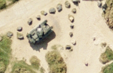
Over 160 colour aerial images of the Normandy coastline have been released on the NCAP website. Flown in 1993, the high-quality images cover four of the beaches assaulted on D-Day, 6 June 1944.
From OMAHA beach, in the west, to SWORD beach, in the east, the images record the survival of gun emplacements and beach defences along the coastline, and remnants of the Mulberry artificial harbour offshore.
The images were selected from the AIRBUS Defence & Space collection.
29 April 2016


