New batch of images released
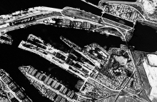
A new batch of 4,790 historic aerial images has been released and is now accessible online. The imagery was copied as part of the NCAP digitisation programme, that will make at least 300,000 aerial images available online by July 2014.
The imagery includes cover of Bremerhaven, Germany, and several large towns and cities in the German state of Nordrhein-Westfalen, including Essen, Gelsenkirchen, and Mülheim. This release extends our online coverage into every Province in The Netherlands, and also adds new images of Amsterdam and Ijmuiden.
26 August 2013


