Natural Environment Research Council images released
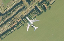
Over 27,000 aerial images taken for the Natural Environment Research Council (NERC) are now accessible on the NCAP website.
The photography provided data for a variety of British Geological Survey projects between 1981 and 2005. These included studies of coastal erosion, river flooding and glacier monitoring. The images cover areas in Belgium, Cyprus, France, Greece, Italy, Netherlands, Norway, Spain, Sweden, and the UK
View online images from the NERC Collection. Zoom and pan all of the images with a website subscription.
23 February 2021


