

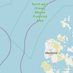
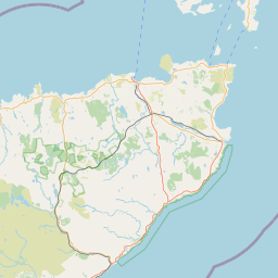
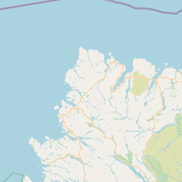
Taing; The; Rousay and Egilsay; ORKNEY; SCOTLAND
Subscription required for access to zoomable images


Frame details
Date: 28 August 1942
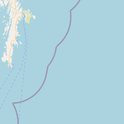
Location: Taing; The; Rousay and Egilsay; ORKNEY; SCOTLAND
Coordinates (lat, lon): 59.111650, -2.989510
Description: Oblique aerial photograph taken facing North.
Wyre, W end
Location: Taing; The; Rousay and Egilsay; ORKNEY; SCOTLAND
Coordinates (lat, lon): 59.111650, -2.989510
Description: Oblique aerial photograph taken facing North.
Wyre, W end
Image type: Oblique