

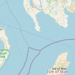
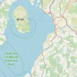
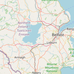
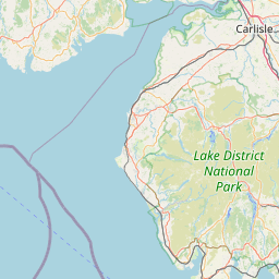
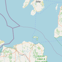
Gaws Hill; Stoneykirk; WIGTOWNSHIRE; SCOTLAND
Subscription required for access to zoomable images

Frame details
Date: 11 June 1988
Location: Gaws Hill; Stoneykirk; WIGTOWNSHIRE; SCOTLAND
Coordinates (lat, lon): 54.816354, -5.002147
Description: Part of the All Scotland Survey.
Location: Gaws Hill; Stoneykirk; WIGTOWNSHIRE; SCOTLAND
Coordinates (lat, lon): 54.816354, -5.002147
Description: Part of the All Scotland Survey.
Image type: Vertical
Scale: 24000
Scale: 24000