

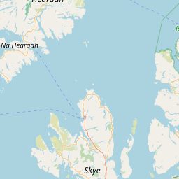
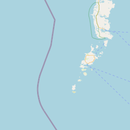
Meall Port Mhealaraigh; Sleat; INVERNESS-SHIRE; SCOTLAND
Subscription required for access to zoomable images


Frame details
Date: 09 June 1988
Location: Meall Port Mhealaraigh; Sleat; INVERNESS-SHIRE; SCOTLAND
Coordinates (lat, lon): 57.172732, -5.732323
Description: Part of the All Scotland Survey.
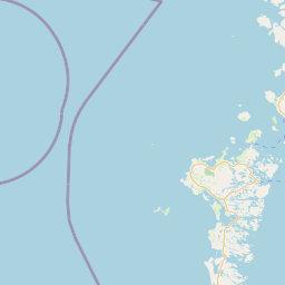
Location: Meall Port Mhealaraigh; Sleat; INVERNESS-SHIRE; SCOTLAND
Coordinates (lat, lon): 57.172732, -5.732323
Description: Part of the All Scotland Survey.
Image type: Vertical
Scale: 24000
Scale: 24000