

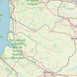
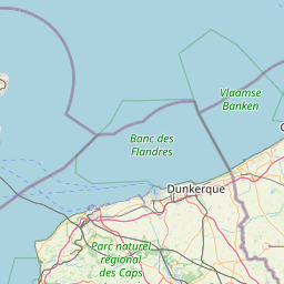
Saint-Léger-lès-Domart; Picardy; France
Subscription required for access to zoomable images


Frame details
Date: 09 May 1944
Location: Saint-Léger-lès-Domart; Picardy; France
Coordinates (lat, lon): 50.046712, 2.132318
Description: This aerial photograph was digitised for the BBC documentary Operation Crossbow.
Location: Saint-Léger-lès-Domart; Picardy; France
Coordinates (lat, lon): 50.046712, 2.132318
Description: This aerial photograph was digitised for the BBC documentary Operation Crossbow.
Image type: Vertical
Scale: 9000
Scale: 9000