

Oster-Schnatebüller Koog; Schleswig-Holstein; Germany
Subscription required for access to zoomable images


Frame details
Date: 26 April 1944
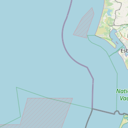
Location: Oster-Schnatebüller Koog; Schleswig-Holstein; Germany
Coordinates (lat, lon): 54.770252, 8.941075
Description: This aerial photograph was digitised for the BBC documentary Operation Crossbow.
Location: Oster-Schnatebüller Koog; Schleswig-Holstein; Germany
Coordinates (lat, lon): 54.770252, 8.941075
Description: This aerial photograph was digitised for the BBC documentary Operation Crossbow.
Image type: Vertical
Scale: 9000
Scale: 9000