

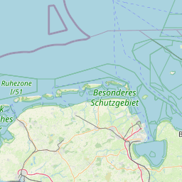
Grohde; Weser-Ems; Germany
Subscription required for access to zoomable images


Frame details
Date: 26 April 1944
Location: Grohde; Weser-Ems; Germany
Coordinates (lat, lon): 53.699775, 7.248461
Description: This aerial photograph was digitised for the BBC documentary Operation Crossbow.
Location: Grohde; Weser-Ems; Germany
Coordinates (lat, lon): 53.699775, 7.248461
Description: This aerial photograph was digitised for the BBC documentary Operation Crossbow.
Image type: Vertical
Scale: 9000
Scale: 9000