

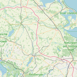
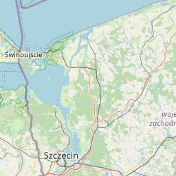
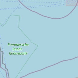
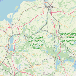
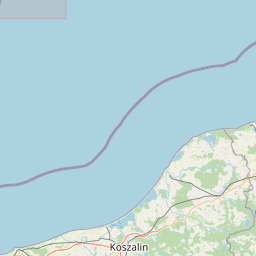
Peenemünde; Mecklenburg-Vorpommern; Germany
Subscription required for access to zoomable images


Frame details
Date: 23 May 1944
Location: Peenemünde; Mecklenburg-Vorpommern; Germany
Coordinates (lat, lon): 54.139909, 13.782322
Description: This aerial photograph was digitised for the BBC documentary Operation Crossbow.
Location: Peenemünde; Mecklenburg-Vorpommern; Germany
Coordinates (lat, lon): 54.139909, 13.782322
Description: This aerial photograph was digitised for the BBC documentary Operation Crossbow.
Image type: Vertical
Scale: 24000
Scale: 24000