

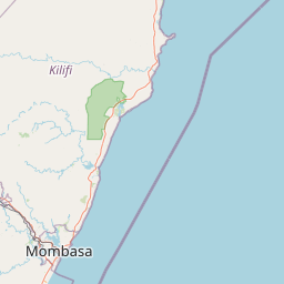
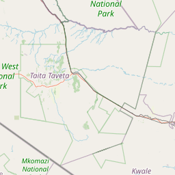
Busho; Coast; Kenya
Subscription required for access to zoomable images


Frame details
Date: 27 January 1955
Location: Busho; Coast; Kenya
Coordinates (lat, lon): -2.188497, 40.714978
Description: This aerial photograph was digitised for the - Creating a Vision of the Commonwealth - Project.
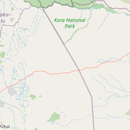
Location: Busho; Coast; Kenya
Coordinates (lat, lon): -2.188497, 40.714978
Description: This aerial photograph was digitised for the - Creating a Vision of the Commonwealth - Project.
Image type: Vertical
Scale: 12000
Scale: 12000