

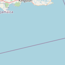
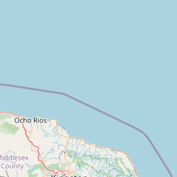
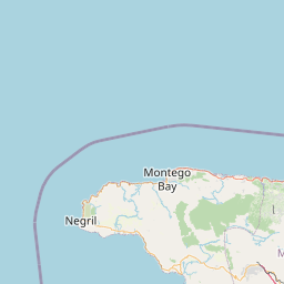
Claremont; Saint Andrew; Jamaica
Subscription required for access to zoomable images


Frame details
Date: 04 April 1961
Location: Claremont; Saint Andrew; Jamaica
Coordinates (lat, lon): 17.921999, -76.676293
Description: This aerial photograph was digitised for the - Creating a Vision of the Commonwealth - Project.
Location: Claremont; Saint Andrew; Jamaica
Coordinates (lat, lon): 17.921999, -76.676293
Description: This aerial photograph was digitised for the - Creating a Vision of the Commonwealth - Project.
Image type: Vertical
Scale: 31000
Scale: 31000