

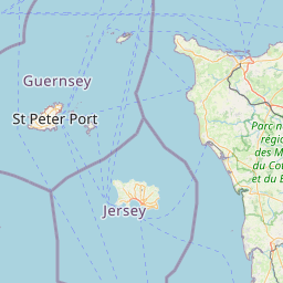
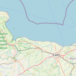
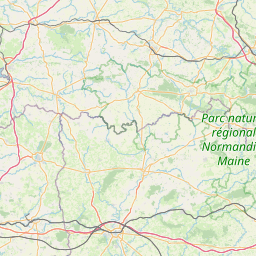
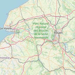
Le Mesnil-au-Val; Lower Normandy; France
Subscription required for access to zoomable images


Frame details
Date: 14 January 1944
Location: Le Mesnil-au-Val; Lower Normandy; France
Coordinates (lat, lon): 49.589917, -1.513607
Description: V1 Site - Bois Carre
This aerial photograph was digitised for the BBC documentary Operation Crossbow.
Location: Le Mesnil-au-Val; Lower Normandy; France
Coordinates (lat, lon): 49.589917, -1.513607
Description: V1 Site - Bois Carre
This aerial photograph was digitised for the BBC documentary Operation Crossbow.
Image type: Vertical
Scale: 8000
Scale: 8000