

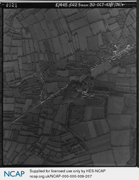
Virandeville; Lower Normandy; France
Subscription required for access to zoomable images
Frame details
Date: 30 October 1943
Location: Virandeville; Lower Normandy; France
Coordinates (lat, lon): 49.565369, -1.732197
Description: This aerial photograph was digitised for the BBC documentary Operation Crossbow.
Location: Virandeville; Lower Normandy; France
Coordinates (lat, lon): 49.565369, -1.732197
Description: This aerial photograph was digitised for the BBC documentary Operation Crossbow.
Image type: Vertical
Scale: 7600
Scale: 7600