NARA Digitisation Programme
NCAP has partnered with the US National Archives and Records Administration (NARA) to digitise and disseminate records from NARA Record Group 373. This includes 40,000 rolls of aerial photography taken by the air arms of the USA, UK, Germany and Japan during the Second World War.
Through our partnership, we will enable access to millions of aerial photographs of locations around the world. All of the images we digitise will be made accessible on our website, and can be zoomed and panned with a website subscription.
Our digitisation unit in Maryland, USA, copies thousands of images every month. These are processed and catalogued at NCAP for release on our website. Further information on each batch of images we release can be found below.
Overview
Over 238,482 aerial images held in the US National Archives are now accessible on this website. To find images, Browse by Map to your area of interest, then click on the image location pins that appear.
More information on the most recent batches of imagery released can be viewed below. |
|
April 2023
8.500 aerial images taken by the United States Army Air Force between 1943 and 1945. The images cover locations in:
Austria, England, France, Germany, Spain and Switzerland
Image: Citadel of the Sun King; Neuf-Brisach; France; 29 January 1945 |
 |
January 2023
3,266 aerial images taken by the German Air Force between 1941 and 1943. The images cover locations in:
Belarus and Russia
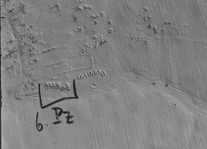
Image: German intelligence annotation indicating 6 tanks, Russia, 16 January 1943 |
 |
December 2022
4,904 aerial images taken by the German Air Force between 1941 and 1944. The images cover locations in:
Belarus and Russia
Image: Kremlin, Moscow, Russia, 5 October 1941 |
 |
November 2022
5,850 aerial images taken by the United States Army Air Force between 1943 and 1945. The images cover locations in:
Germany, Oman, Saudi Arabia and the United Kingdom
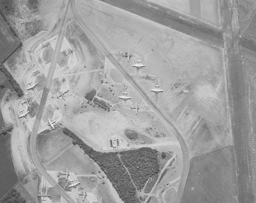
Image: B17 aircraft, RAF Nuthampstead, England, 27 May 1944 |
 |
September 2022 - Part 2
15,150 aerial images taken by the German Air Force, Japanese Air Force and the United States Army Air Force between 1938 and 1945. The images cover locations in:
Bahrain, Belarus, Belgium, China, Denmark, France, Germany, Iran, Oman, Pakistan, Poland, Russia, Saudi Arabia, The Netherlands and the United Arab Emirates
Image: Damaged canal boats, Germany, 18 April 1945 |
 |
September 2022 - Part 1
6,590 aerial images taken by the German Air Force and the United States Army Air Force between 1939 and 1945. The images cover locations in:
Belarus, Iceland, Lithuania, Poland and Russia
Image: Fires burning during day three of Operation Barbarossa, Poland, 25 June 1941 |
 |
May 2021
4,150 aerial images taken by the German Air Force between 1941 and 1944. The images cover locations in:
Latvia, Lithuania, Russia and Poland
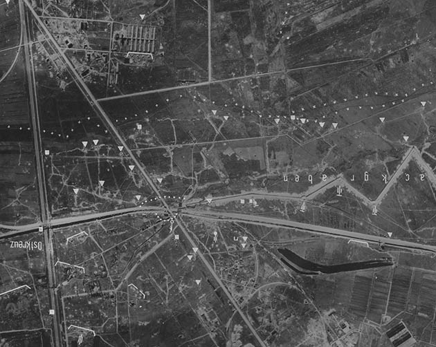
Image: Annotated Russian defensive positions, St Petersburg, Russia, 16 September 1942 |
 |
March 2021
7,800 aerial images taken by the United States Army Air Force in 1944 and 1945. The images cover locations in:
Bahrain, France, Iraq, Iran, Saudia Arabia and Qatar
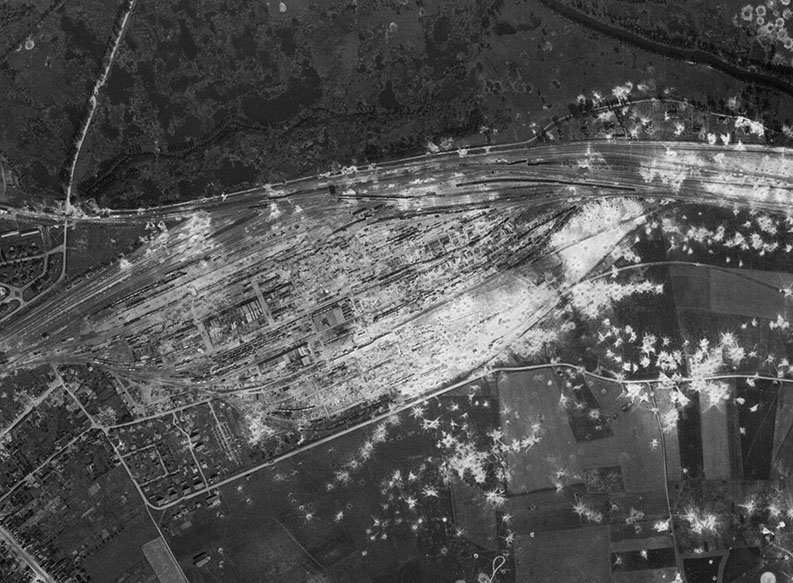
Image: Heavily-bombed railway marshalling yard, Longueau, France, 14 August 1944 |
 |
November 2020 - Part 2
8,200 aerial images taken by the United States Army Air Force in 1944. The images cover locations in:
Belgium, France, Germany, Luxembourg and The Netherlands
Image: Bombed airfield, Picardy, France, 6 July 1944 |
 |
November 2020 - Part 1
12,450 aerial images taken by the German Air Force between 1940 and 1945. The images cover locations in:
Belarus, Poland, Russia, Ukraine and the United Kingdom
Image: Battle of Stalingrad, Russia, 1 February 1943 |
 |
October 2020 - Part 4
3,900 aerial images taken by the United States Army Air Force and German Air Force between 1942 and 1945. The images cover locations in:
China, France, Germany, Iceland and The Netherlands
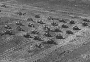
Image: Tank Review, Iceland, 1 June 1943 |
 |
October 2020 - Part 38,679 aerial images taken by the United States Army Air Force and Royal Air Force between 1943 and 1945. The images cover locations in:
Belgium, France, Germany and Luxembourg
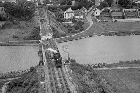
Image: Damaged railway bridge, France, 31 August 1944 |
 |
October 2020 - Part 2
6,945 aerial images taken by the United States Army Air Force and Royal Air Force between 1930s and 1945. The images cover locations in:
Argentina, Bangladesh, China, France, Germany, Greenland, Iceland, Japan, Laos, Myanmar, the Solomon Islands, Switzerland and Vietnam
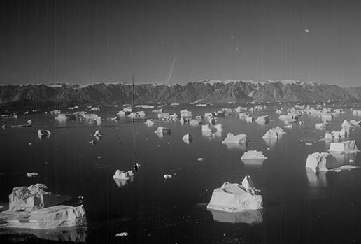
Image: Icebergs, Greenland, unknown date |
 |
October 2020 - Part 1
8,250 aerial images taken by the United States Army Air Force and Royal Air Force between 1943 and 1945. The images cover locations in:
Belgium, England, France, Germany, Italy, Luxembourg, The Netherlands and The Philippines
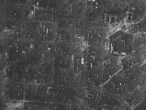
Image: Bomb-damaged buildings, Darmstadt, Germany, 25 December 1944 |
 |
September 2020 - Part 2
4,610 aerial images taken by the United States Army Air Force between 1943 and 1945. The images cover locations in:
Belgium, China, France, Germany, Italy, Japan, The Netherlands and The Philippines
Image: Bombardment of Caraboa Island, Philippines, April 1945
|
 |
September 2020 - Part 1
9,899 aerial images taken by the United States Army Air Force and Royal Air Force between 1941 and 1951. The images cover locations in:
Belgium, France, Germany, Italy, The Netherlands, The Philippines, Poland, United Kingdom and United States of America
Image: Junkers factory and labour camp, Zalom, Poland, 26 June 1944 |
 |
August 2020
7,687 aerial images taken by the United States Army Air Force and Royal Air Force between 1936 and 1945. The images cover locations in:
Argentina, Belgium, France, Germany, Greece, Hungary, Iceland, Kosovo, Luxembourg, Myanmar, Serbia and Slovakia
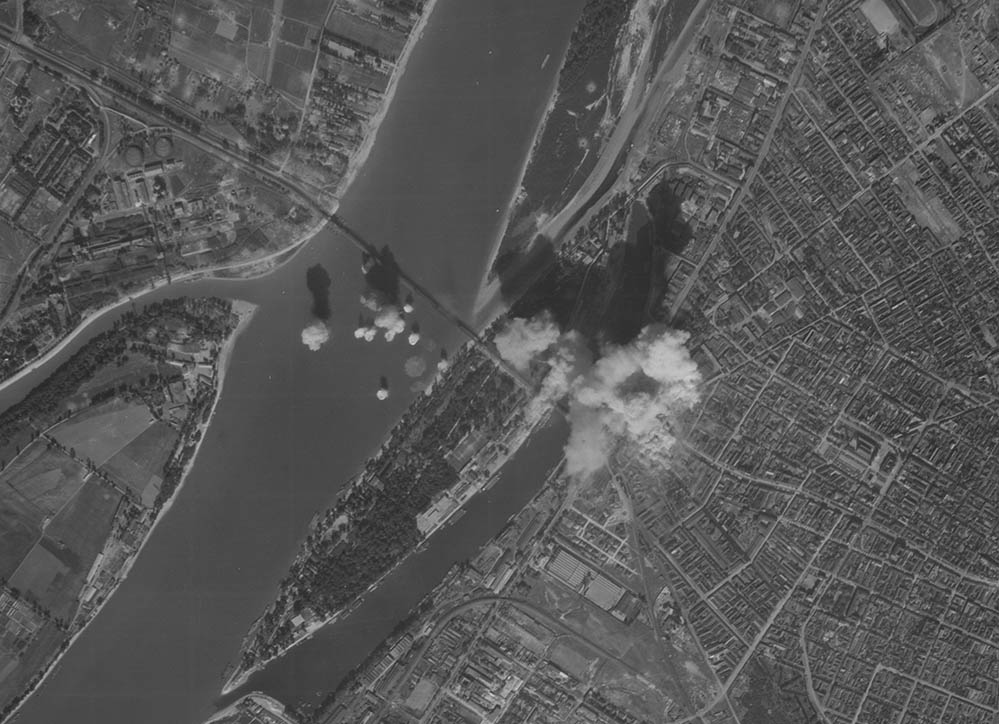
Image: Bombing raid, Budapest, 18 September 1944 |
 |
July 2020 - Part 2
7,590 aerial images taken by the United States Army Air Force between 1943 and 1945. The images cover locations in:
Belgium, France, Germany, Luxembourg, Philippines and The Netherlands.
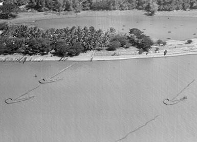
Image: Fishing nets, Philippines, 22 February 1945 |
 |
July 2020 - Part 1
3,147 aerial images taken by the United States Army Air Force and the Royal Air Force between 1941 and 1944. The images cover locations in:
Belgium, England, France, Germany, Italy and The Netherlands.
Image: Allied gliders in tow during Operation Market Garden, The Netherlands, 18 September 1944 |
 |
June 2020 -Part 3
3,005 aerial images taken by the United States Army Air Force between 1944 and 1950. The images cover locations in:
Belgium, France, Germany, Japan, North Korea, South Korea and Luxembourg.
Image: V1 weapon site, Fresnoy-Folny, France, 23 April 1944 |
 |
June 2020 -Part 2
8,909 aerial images taken by the United States Army Air Force between 1944 and 1945. The images cover locations in:
Belgium, France, Germany, the Netherlands and the United Kingdom.
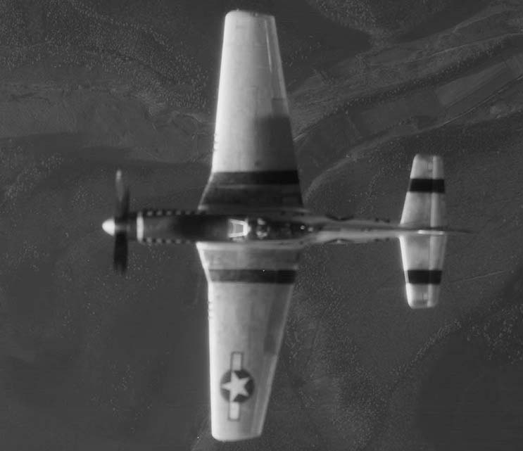
Image: P-51 Mustang aircraft flying over Kassel, Germany, 8 April 1945 |
 |
June 2020 - Part 1
3,760 aerial images taken by the United States Army Air Force between 1943 and 1945. The images cover locations in:
Belgium, France, Germany, the Netherlands and the United Kingdom.
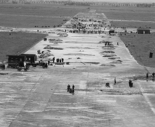
Image: Schiphol airfield, the Netherlands, 30 March 1945 |
 |
May 2020
6,887 aerial images taken by the United States Army Air Force between 1944 and 1945. The images cover locations in:
Belgium, Czech Republic, France, Germany and the Netherlands
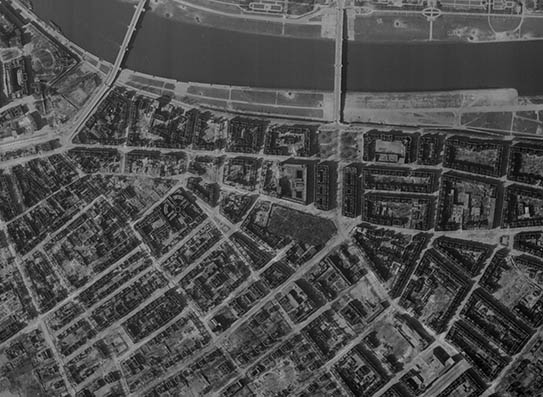
Image: Dresden, 25 March 1945 |
 |
April 2020
3,642 aerial images taken by the United States Army Air Force between 1944 and 1945. The images cover locations in:
Germany and The Netherlands
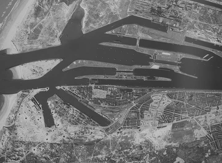
Image: Concrete U-boat pens, Ijmuiden, with Tallboy bomb craters, 22 March 1945 |
 |
March 2020 - Part 2
5,337 aerial images taken by the United States Army Air Force between 1944 and 1945. The images cover locations in:
Austria, Belgium, Czech Republic, France, Germany, The Netherlands and Poland.
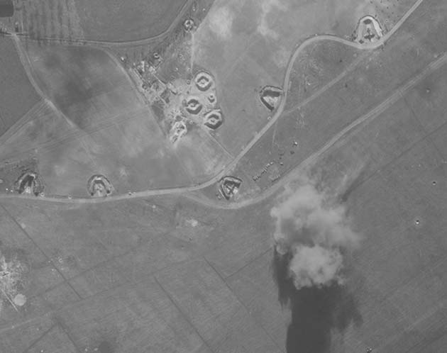
Image: Unidentified airfield under attack, 30 March 1945 |
 |
March 2020 - Part 1
4,847 aerial images taken by the United States Army Air Force between 1944 and 1945. The images cover locations in:
Germany
Image: Wesel, Germany, Allied gliders used during the crossing of the Rhine, March 1945
|
 |
February 2020 - Part 2
5,050 aerial images taken by the United States Army Air Force and Royal Air Force between 1943 and 1945. The images cover locations in:
Austria, England, France, Germany, Myanmar and Poland
Image: Delmenhorst Displaced Persons Camp, Germany, May 1945 |
 |
February 2020 - Part 1
7,035 aerial images taken by the United States Army Air Force and German Air Force between 1941 and 1945. The images cover locations in:
Austria, Belgium, England, Federated States of Micronesia, France, Germany, Italy, Japan, Luxembourg, The Netherlands and United States of America.
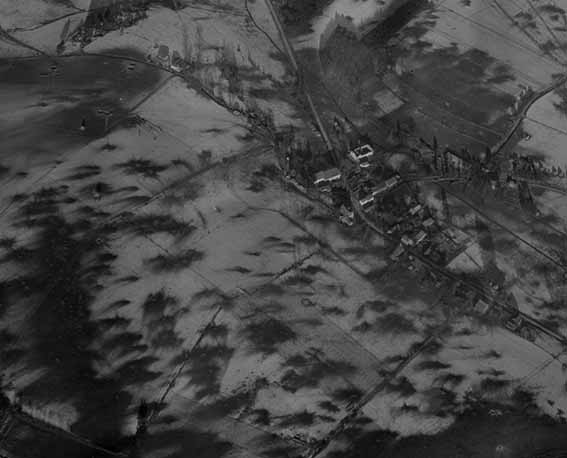
Image: Grandrue, Belgium, during the Battle of the Bulge, December 1944 |
 |
January 2020
7,674 aerial images taken by the United States Army Air Force and Royal Air Force between 1942 and 1946. The images cover locations in:
Belgium, China, France, Germany, Laos, Myanmar, The Netherlands, Poland, Solomon Islands and Vietnam.
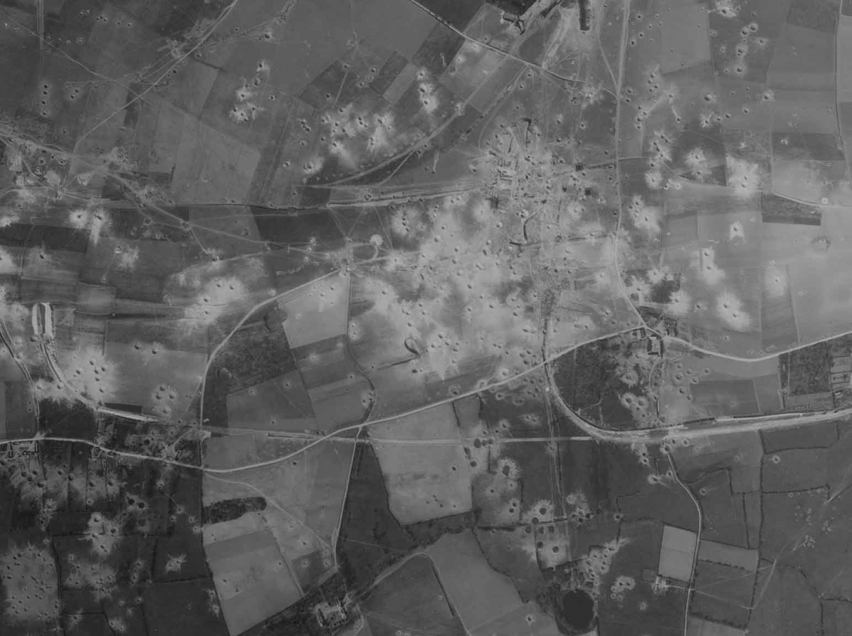
Image: Mimoyecques V-3 site, France, after an Allied bombing raid in 1944 |
 |
December 2019
7,193 aerial images taken by the United States Army Air Force and German Air Force between 1942 and 1945. The images cover locations in:
Austria, Belarus, China, England, Laos, Moldova, Myanmar, Russia, Ukraine and Vietnam.
Image: Novgorod, Russia, 1942 |
 |
October 2019 - part 2
2,868 aerial images taken by the German Air Force between 1940 and 1943. The images cover locations in:
England and Wales
Image: Plymouth, England, 1941
|
 |
October 2019 - part 1
1,659 aerial images taken by the German Air Force between 1940 and 1942. The images cover locations in:
England and Wales
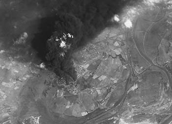
Image: Oil tanks near Swansea, Wales, burning after a bombing raid. |
 |
Uploads 2017-2019
By September 2019 we had uploaded 33,948 aerial images taken by the USAAF, US Navy and German Air Force between 1940 and 1946. The images cover locations in:
Belgium, China, England, Estonia, Finland, France, Germany, Hawaii, Iceland, Italy, Japan, Latvia, Lithuania, Myanmar (Burma), the Netherlands, Poland, Russia, Thailand, Vietnam and Wales.
Image: Food packages being dropped into a Japanese POW camp by US Navy Avenger aircraft. |
 |
View all catalogued NARA imagery
Related Links:
NCAP News: NARA Digitisation Partnership begins


