

Cartographical Surveys
|
Cartographical Surveys Ltd was a British survey company which undertook topographical and aerial survey work across the UK. Formed in Southampton in 1957 to supply commercial mapping services, the company was subsequently acquired by 40SEVEN Limited in 2008. Its holdings of aerial photography were transferred to NCAP in 2014.
| Cardington airship sheds, photographed by Cartographical Surveys Ltd in 1983, during a survey of Bedfordshire. | 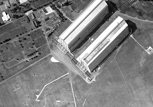 |
View online images from the Cartographical Surveys collection