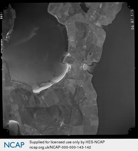
Whithebeir, EDAY, ORKNEY, SCOTLAND, Sortie ASS_606_87, Frame 0175

< 1 of 1 > Back
Postcard of Whithebeir, EDAY, ORKNEY, SCOTLAND, Sortie ASS_606_87, Frame 0175. Click to view full image (new window)
006-002-001-953-C

Whithebeir, EDAY, ORKNEY, SCOTLAND, Sortie ASS_606_87, Frame 0175

Vertical aerial image taken near Whithebeir, EDAY, ORKNEY, SCOTLAND. Image taken on 26/06/1987

Part of the All Scotland Survey.

Record details

To search on related items, click any linked text below.

Record ID 006-002-001-953-C
Resource Rights Holder RCAHMS
Related Records
Date Friday 26 June 1987 (Photograph taken)
Image Type Vertical
Scale 24000
Frame 0175
Keywords
Archive Ref RCAHMS C_0212
Where: Bay of Icevay, Bay of London, Benstonhall, Cauldhame, Dale, Fersness, Fersness Hill, Flaughton Hill, Guith, Hammarhill, Kirk Taing, Loch of London, Mill Loch, Millbounds, Point of Cauldhame, Quarryhouse, Resting Hill, Sandhill, Sandquoy, Sandsend, Skaill, Stennie Hill, Warrenhall, Westside, Whitemaw Hill, Whithebeir, Orkney Islands (Nearby places)
Centre point of image | 59.192062 N 2.778542 W
Whithebeir, Eday, ORKNEY, SCOTLAND
Sortie Ref ASS_606_87
References

Licence Summary

You may: copy, display, store and make derivative works [eg documents] for personal use only or use solely within an educational institution by staff and students. Under these conditions: Display Attribution, No Commercial Use or Sale, No Public Distribution [eg by hand, email, web]

Full Licence Details

 
< 1 of 1 > Back
Charity SC026749